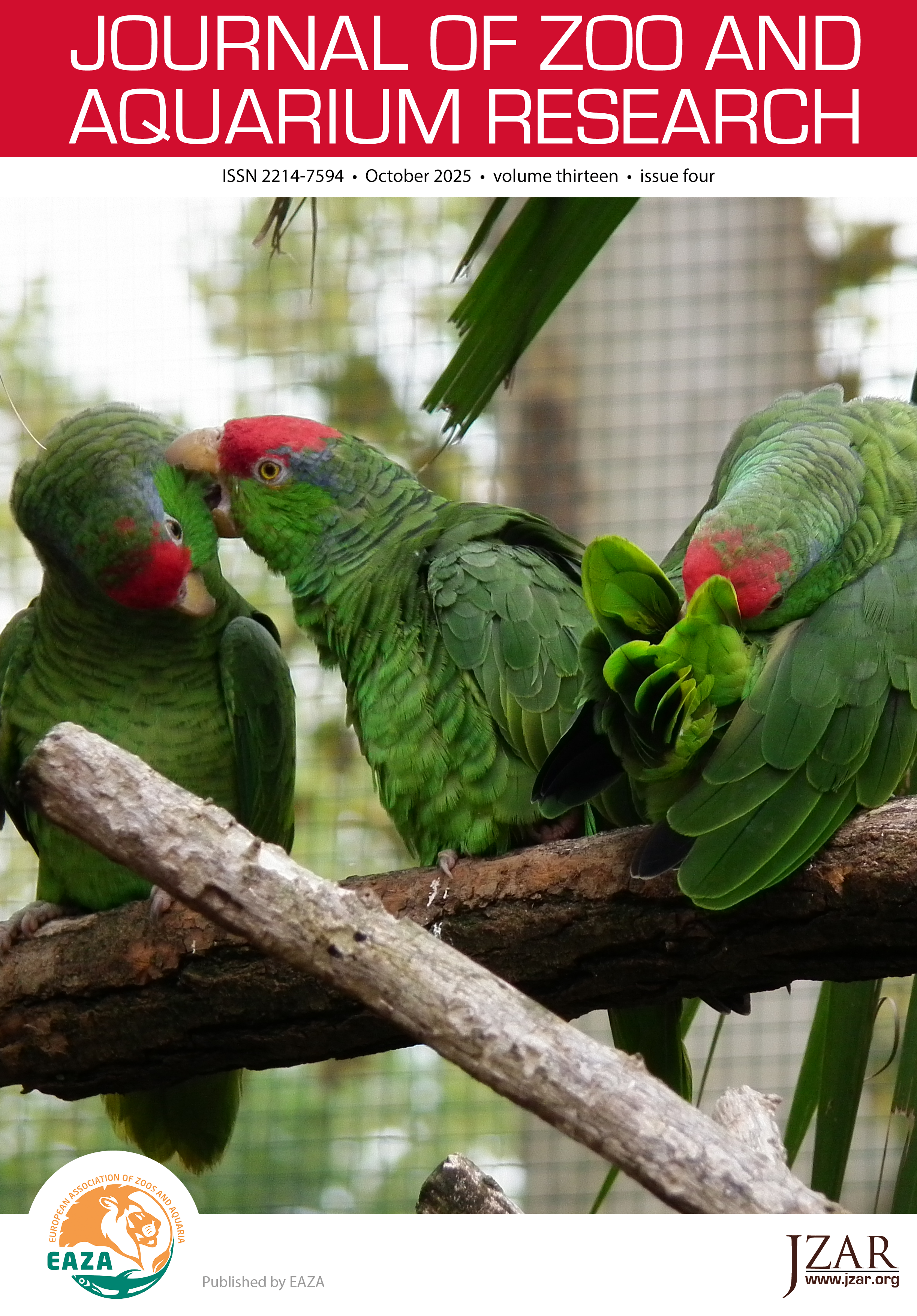
A step towards advancing the mapping and spatial analysis of zoo-animal data; analysing the movement of multi-species zoological exhibits.
DOI:
https://doi.org/10.19227/jzar.v13i4.885Keywords:
data translation, Geographical Information Systems, spatial ecology, ZooMonitorAbstract
Spatial data with explicit geographic coordinates has seen limited application in zoo biology, with collection and analysis methods developing more slowly than other methodologies. With the increasing availability of technologies that streamline these processes, spatial data can now be more efficiently integrated into standard zoo practices. This article presents a method for translating data from ZooMonitor into QGIS for spatial analysis. The approach was applied to data from four species housed in multi-species enclosures across two Irish zoological institutions. The resulting GIS-compatible data were used to explore the potential benefits of spatial analysis in enhancing captive animal welfare. Analyses included both traditional and novel (for ex-situ settings) spatial metrics: Modified Spread of Participation Index (mSPI), Minimum Bounding Convex Hulls, Mean Coordinates, Standard Distances, Standard Deviational Ellipses, and Kernel Density Estimators. While mSPI remains a valuable tool, its limitations when used in isolation are demonstrated. The advantages of combining multiple spatial measures are highlighted. Among the metrics examined, Standard Distance, Minimum Bounding Convex Hull, and mSPI were useful for understanding overall range. For finer-scale insights, Standard Deviational Ellipses and Kernel Density Estimators provided clearer interpretations of space use, better suited for informing husbandry and management decisions. Using multiple methods in tandem allows researchers to support more informed decisions regarding enclosure design and animal care. This study illustrates how spatial approaches, rarely applied in captive settings but increasingly feasible through tools like ZooMonitor, can offer new insights into animal welfare and management. The findings emphasize the importance of using a suite of spatial metrics rather than relying on a single method, which may introduce bias or limit interpretation. In conclusion, this article demonstrates the potential of GIS-based analyses to support zoological institutions in improving enclosure infrastructure and prioritizing animal welfare, particularly for critically endangered species.
Downloads
Additional Files
Published
How to Cite
Issue
Section
License
JZAR fulfils the DOAJ definition of open access and provides free and open access to the full text of all content without delay under a Creative Commons licence. The copyright holder of JZAR publications grants usage rights to third parties, allowing for immediate free access to the work and permitting any user to read, download, copy, distribute, print, search, or link to the full texts of articles.


